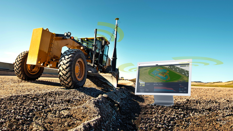
Cloud platform
Leica ConX
The cloud platform that connects your entire construction site. From design data to as-built results, ConX keeps operators, surveyors and project managers perfectly in sync — anywhere, anytime.
Learn more →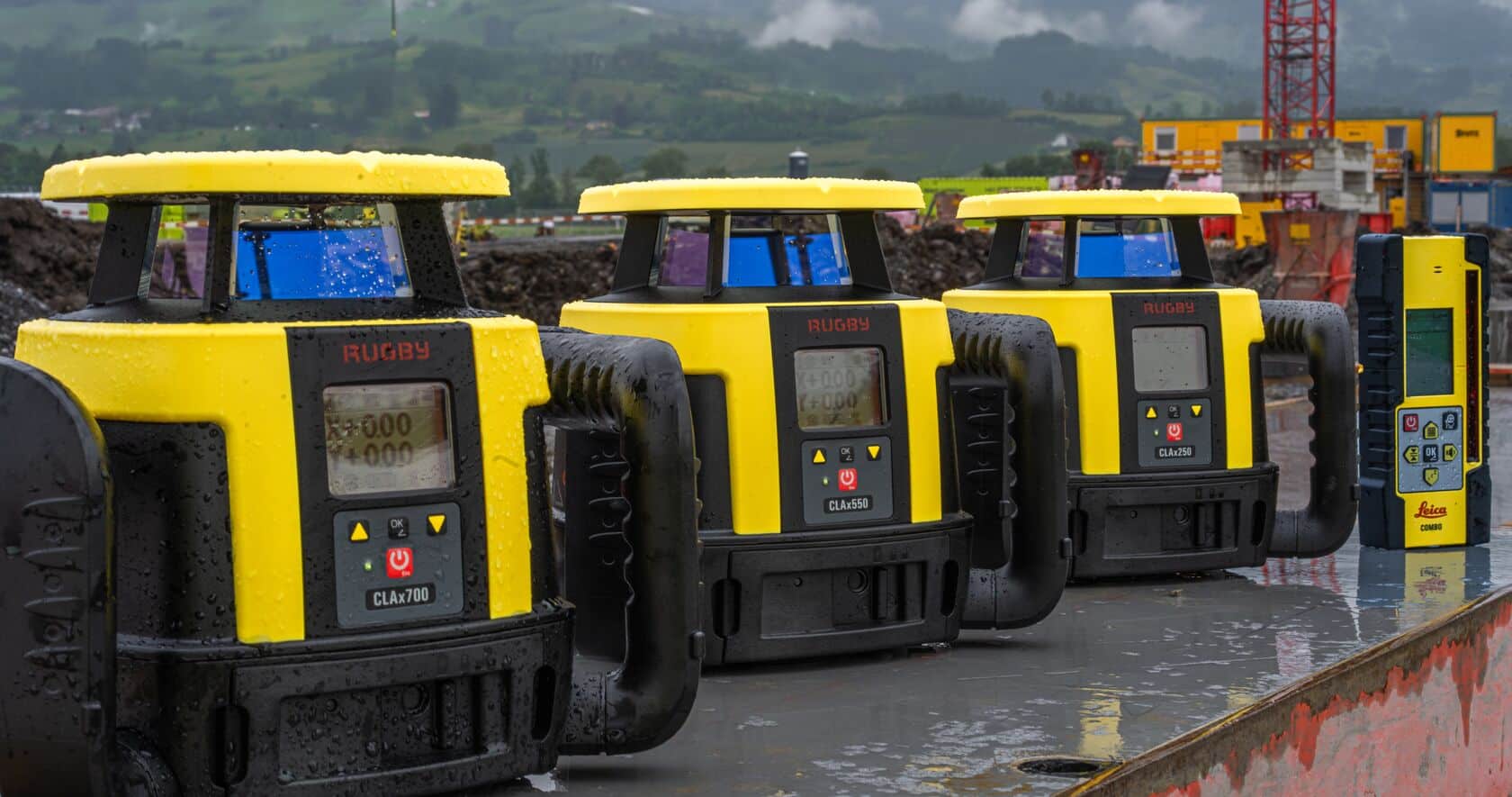
Leica Authorized Dealer
Everything that keeps a crew on grade above the dirt — and out of trouble below it. Leica Rugby CLAx and CLH lasers for grading, excavation, foundations and layout, plus electromagnetic locators and ground penetrating radar so you know what's buried before the bucket moves.
All of it sold, calibrated and repaired in our own shop, and tied into the same GNSS and field software you already run.
Lasers
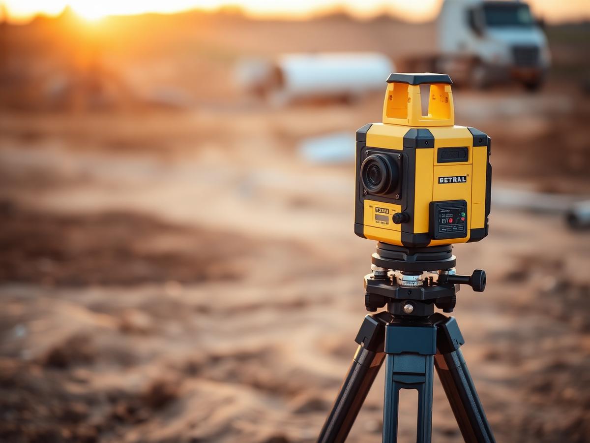
Engineered for layout and interior construction, Leica's professional-grade lasers provide crisp, highly visible lines and points for fast, accurate alignment. Perfect for framing, drywall layout, cabinetry, MEP installations and finish work, with self-leveling technology, long battery life and rugged construction.
Lasers
Leica rotating lasers deliver reliable, long-range leveling performance for grading, excavation, concrete work, form setting and site prep. Stable rotary beams stay consistent over large distances, even in bright outdoor conditions, with exceptional durability and weather protection.
Lasers
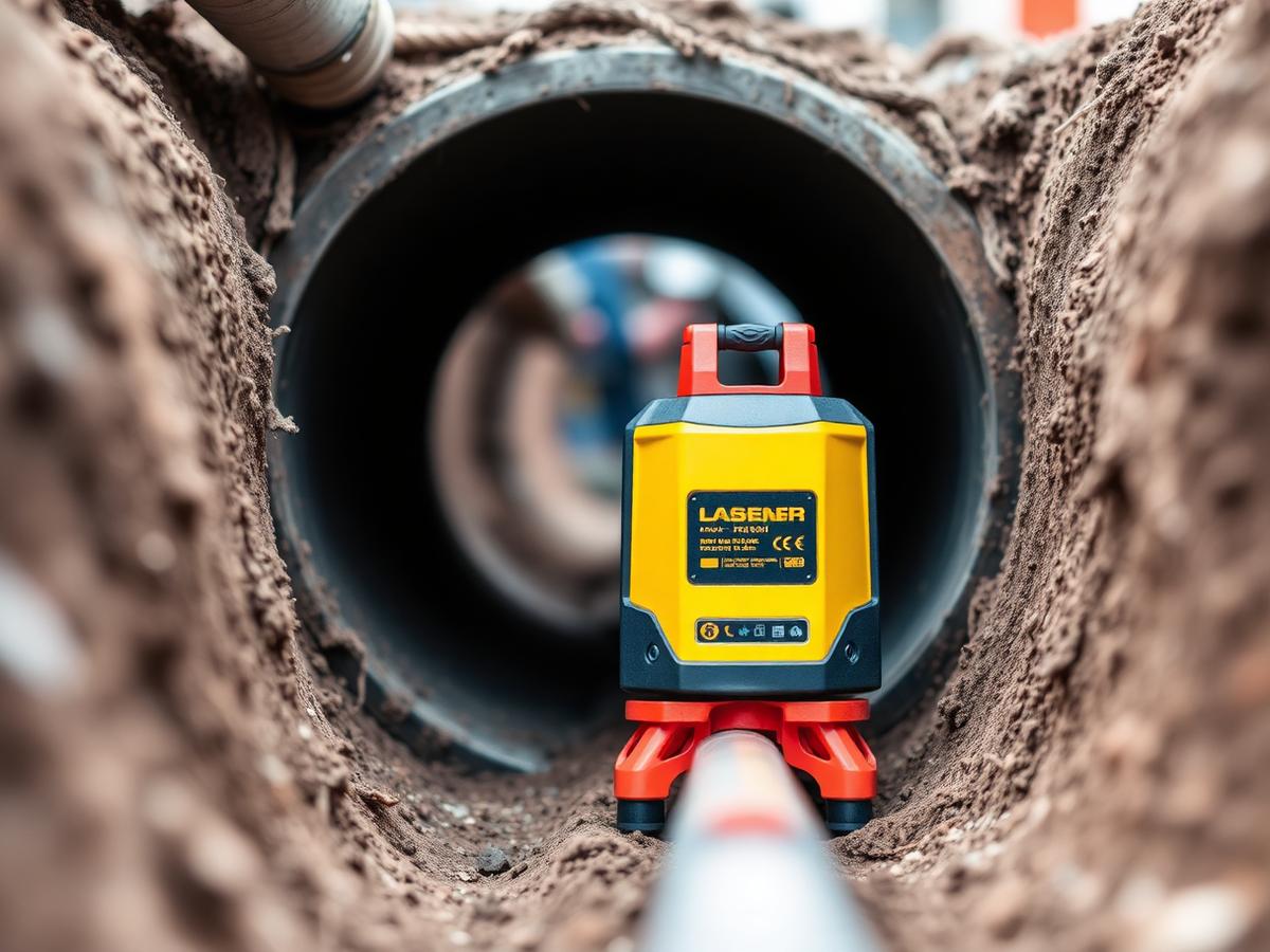
Leica pipe lasers deliver precise grade control and alignment for underground utility work. High-visibility beams, durable housings and intuitive onboard controls maintain exact line and grade in tough trench environments — gravity flow, stormwater and sewer installations alike.
“A laser has to survive the truck, the trench and the winter — and knowing what is under the ground is the cheapest insurance on the job.”
IQ Construct NW · Shop floor
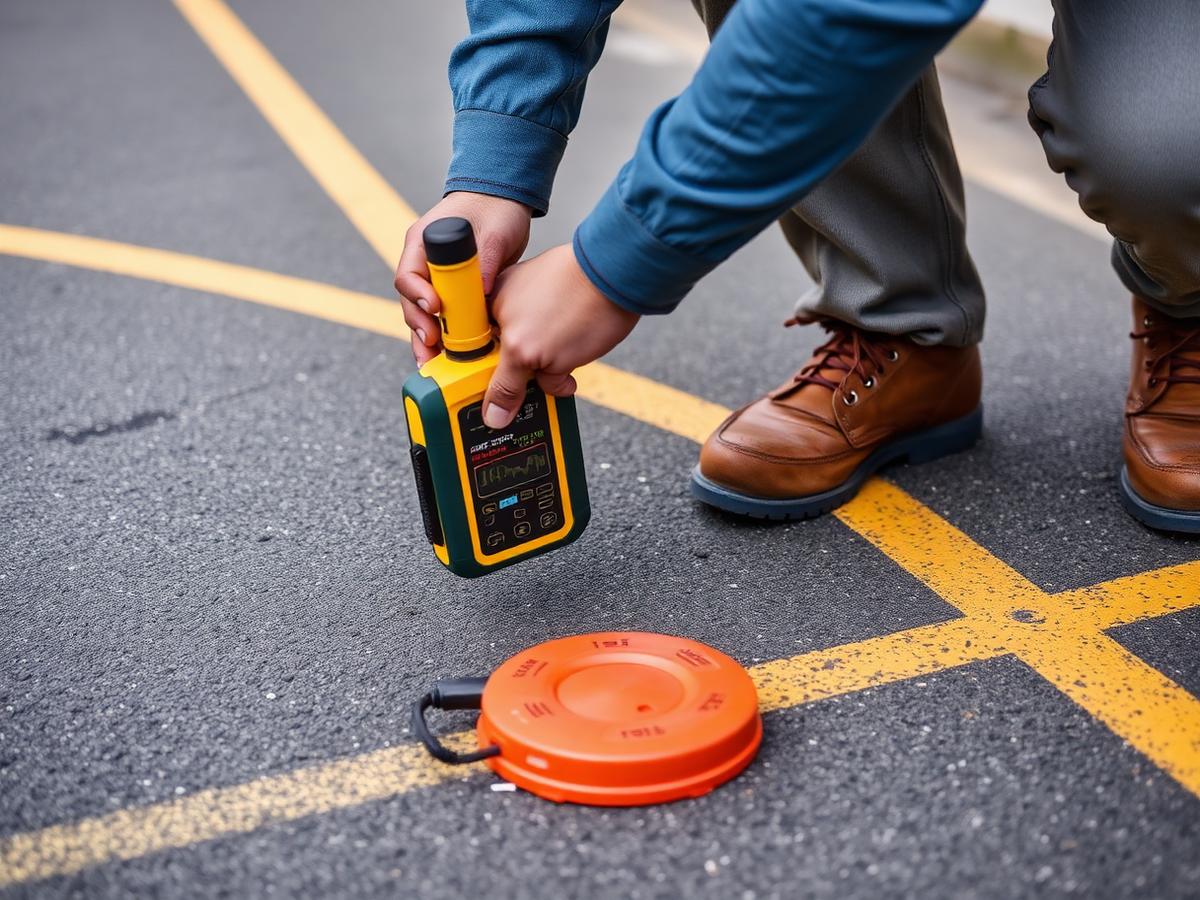
Detection
Electromagnetic locators and transmitters trace energized, conductive and traceable utilities — power, telecom, gas tracer wire, water and sewer. Multi-frequency operation, depth estimation and clear signal feedback help crews separate targets in congested corridors and mark line and depth with confidence.
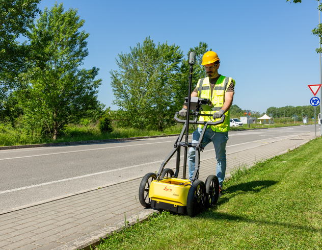
Detection
GPR finds what a locator can't — non-conductive pipe, PVC, concrete structures, voids, rebar and abandoned lines. Push carts scan quickly across pavement and prepared subgrade, giving on-screen results in the field and exportable data for pre-design and pre-excavation surveys.
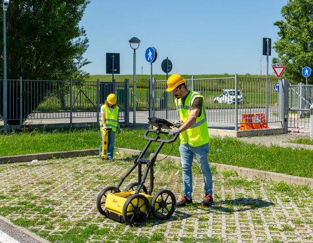
Detection
Marks fade. Data doesn't. We help you tie detection results to GNSS positions and field software so located utilities become a mapped layer in your project — shareable with surveyors, operators and project managers, and available on the next phase of work.
Software
Cloud platform
The cloud platform that connects your entire construction site. From design data to as-built results, ConX keeps operators, surveyors and project managers perfectly in sync — anywhere, anytime.
Learn more →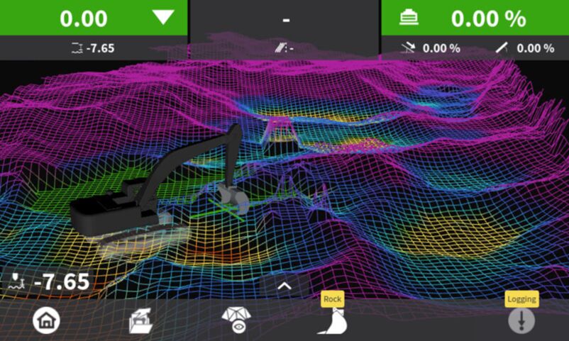
Machine control
One unified machine control platform across all machines. From grading and paving to drilling and excavation, MC1 delivers consistent workflows, intuitive operation and seamless ConX integration.
Learn more →Leica Geosystems GPR
We supply and support the Leica GPR line, from the entry-level DSX to the dual-antenna DS4000 with IDS EsT technology. Both geo-locate their results, so a scan becomes a map instead of a memory.
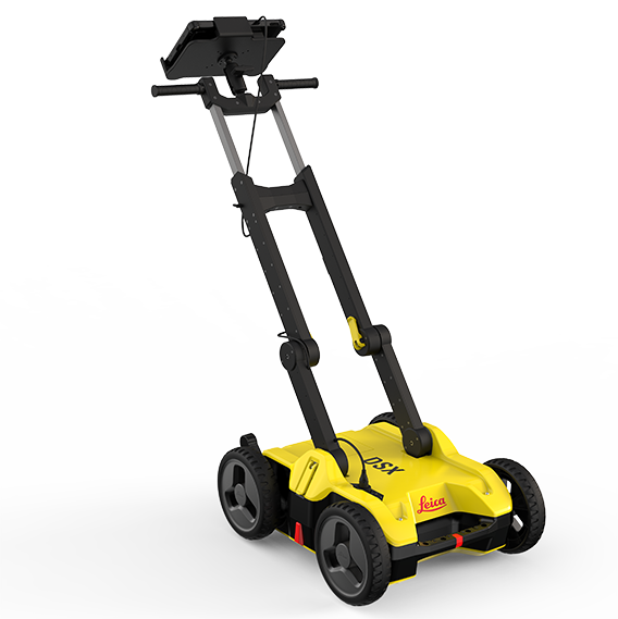
Utility avoidance
An entry-level single-antenna GPR with a 600 MHz antenna and the DXplore grid workflow. On-board tutorial videos get new users collecting good data fast, while skilled operators use the same unit to build full utility survey maps.
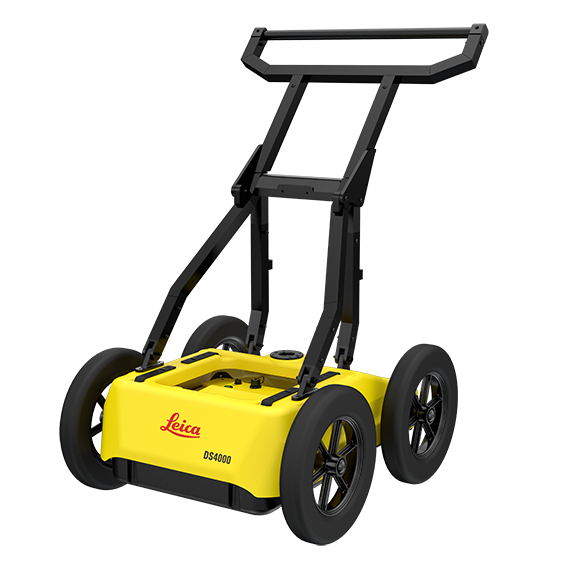
Utility detection
A dual-antenna system pairing 200 MHz and 900 MHz antennas with IDS EsT technology for an effective 80–1500 MHz range — deeper penetration without giving up near-surface resolution, and hot-swap batteries so the crew keeps scanning.
From radar to map
This is the part crews don't expect. Pair the GPR with a GNSS antenna and every target it detects gets a real-world coordinate and depth. Walk the grid, and the radar builds a 3D tomography of what's underneath — then exports it as mapped lines and points you can drop straight onto Google Maps, Google Earth or your GIS.
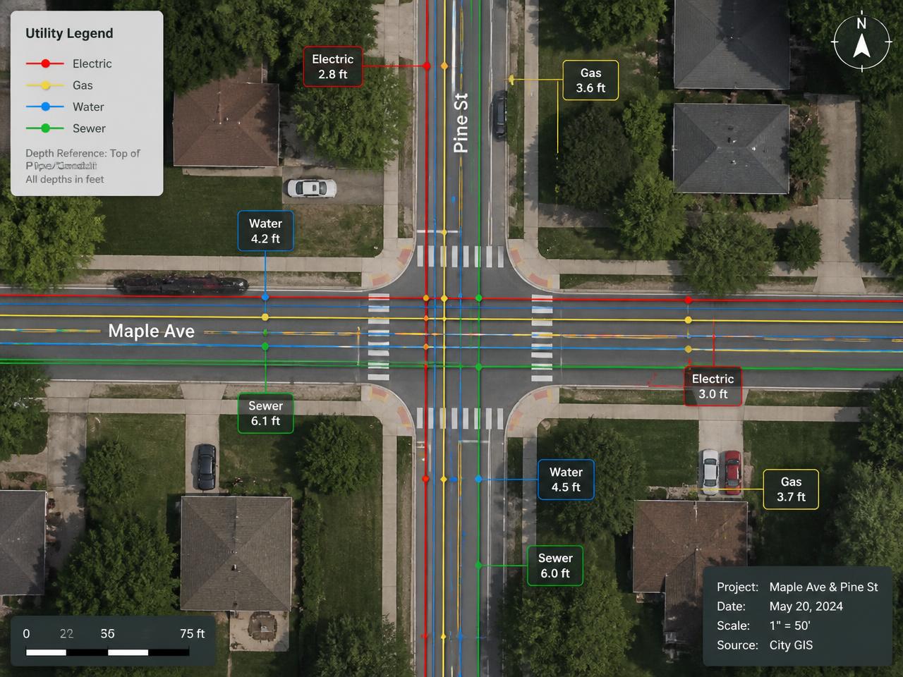
Example deliverable: GNSS-positioned utility lines with depths, overlaid on aerial imagery.